The South Lake Worth (Boynton) Inlet History

SOUTH LAKE WORTH INLET (BOYNTON INLET) 

The Boynton Inlet, or what is officially known as the South Lake Worth Inlet, was a project that took many years to happen. Originally, Lake Worth was a fresh water lake. When the Palm Beach Inlet was opened in the 1800s, it changed to a salt water lagoon. At the far end

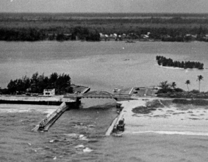
The Boynton Inlet

The Boynton Inlet

of the lake, the water was more brackish. Several cities used the lake to dump raw sewage. It was felt that making an additional opening to the sea would help “flush” the lake and to provide access for anglers and sport fishing.

The inlet was opened in 1927, and is a popular recreational spot for picnics and fishing.

The original article from March 17, 1927, announcing the inlet opening, from the Palm Beach Post.

CONNECTING CUT IS MADE AFTER YEARS OF ENGINEERING WORK

Scores Watch Ceremonial Labor at 11 o’clock Wednesday Night

At 11:18 o’clock last night the South Lake Worth Inlet at Boynton became a reality.

For at this hour waters from the Atlantic ocean glided in through the tiny cut, shoveled in the sand, and mingled with the waters of Lake Worth, for the first time at this point, filling the channel cut by a huge clam shell dredge. Dozens of spectators leaned from the bridge, which tops the project, and watched the operations by the glare of large search lights, while others tramped through the sand below to stand on the point to observe the laborers as they shoveled the opening wedge through which the ocean flowed.

Although about two weeks work yet remains for dredging the sand and cutting through part of the rock in the channel, last night’s task marked the official opening of the South Lake Worth inlet and the real termination of the project extending over a period of many years.

The South Lake Worth inlet, connecting the Atlantic ocean and Lake Worth, at a point just north of Boynton and the head of the lake, when completed will be available for pleasure craft, as well as being a vehicle for drainage. A depth of five feet at low tide will be increased to seven at high tide with a space of 154 feet between the two front jetties, and a 32 foot overhead clearance under the bridge.

Conceived in 1923, the project was almost one year in assuming definitive shape at the end of which time plans had been drawn, estimates made, the inlet district created and the project financed. The district extends from Southern Boulevard in West Palm Beach to a point one mile south of Boynton.

Riddle Brothers, engineers, were engaged to have charge of the entire projects, and last night both Karl and Kenyon Riddle of the firm, stood on the sands and watched the culmination of the $225,000 project, together with many of the town officials.

The concrete bridge, which has no draw, was completed August 1, 1924. Work started on the inlet proper in September, 1923, first on the solid concrete jetties, both of which withstood both hurricanes last summer without damage. The jetties, according to the engineering are of a peculiar construction, unique along the coast.

A suction dredge has been at work on the channel for some time and on Tuesday of this week the clam shell dredge began operations in a 21 hour-a-day schedule. It is expected that with the opening wedge cut, much of the sand will wash out to sea during high tides.

Lost Tourist Attractions

The Boynton Beach area was home to many well-known tourist attractions of the past. Sadly, these roadside stops no longer exist in today’s Boynton Beach.

James Melton’s Autorama – Located on US 1 in Hypoluxo, famous tenor James Melton displayed his extensive automobile collection to the public. Muralist Bernard Thomas painted a western themed mural in one of the museum halls. Mr. Melton’s untimely death in 1962 led to the closing of the museum. The property was sold and became a development.

Bianca’s Birds – This attraction on US 1 featured performing birds and a mock Seminole Indian village. Guests could dock boats or park on the premises. Later the property became a trailer park, then a residential development.

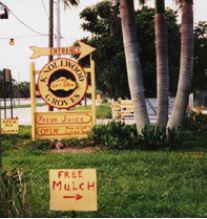
Knollwood Groves – Open from 1933 until 2005, this Lawrence Road attraction

Knollwood Groves

Knollwood Groves

featured citrus shipping, famous apple pies, a train ride through the groves and alligator wrestling and a hammock area with a recreated Seminole Indian village. It is now the Knollwood residential development.

Madison’s Jungle Garden – Located on Military Trail north of Gateway Boulevard, this tiny attraction was a rest stop for travelers. Several animals were on display in a small zoo. The Madisons made items to sell to the tourists such as orange blossom perfume, palmetto hats and pepper hot sauce.

Palm Beach Groves – Operated for decades by the Shelton Family, this attraction featured a tour of the groves, sausage trees and an extensive store for Florida produce and souvenirs. Its peacock flock survives in the nearby Fox Hollow neighborhood.

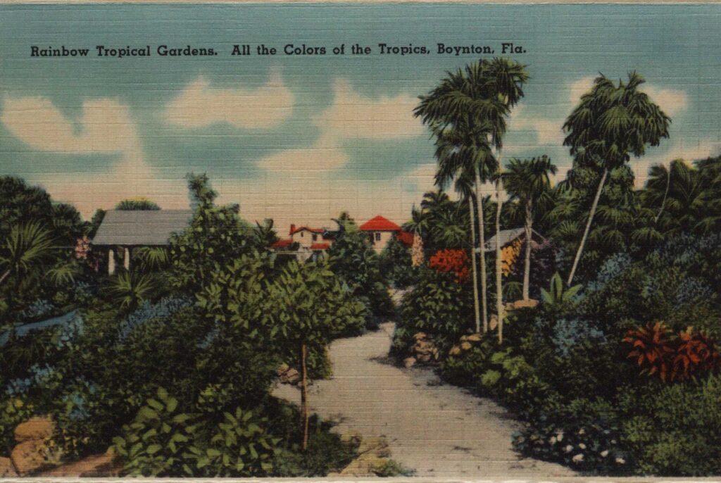
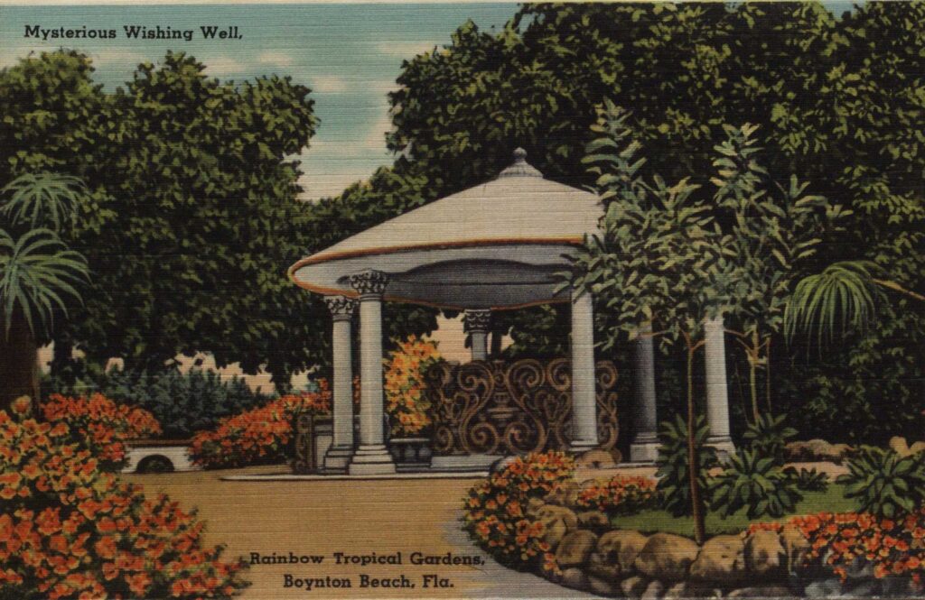
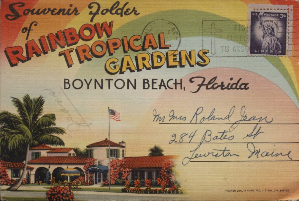
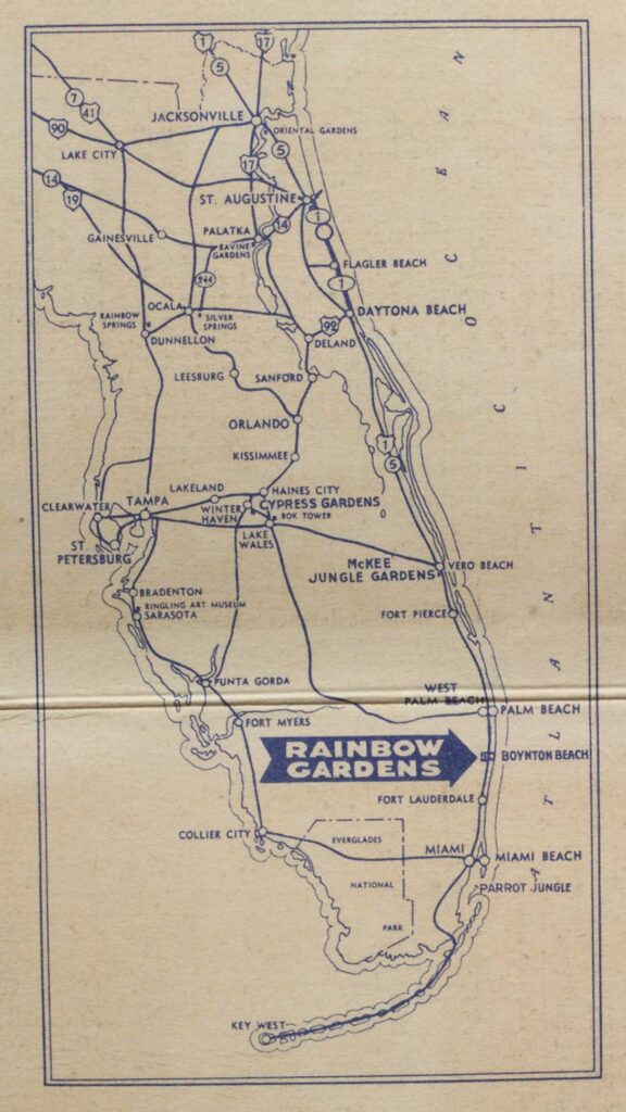
Rainbow Tropical Gardens – This beautiful garden on US 1 featured beautiful landscaping and lagoons with small fancy buildings throughout the property. The main building is today’s Benvenuto Restaurant, while the back of the property is a residential development. A few of the small garden structures survive on private property.

Waite’s Bird Farm – Located on US 1 north of Boynton Beach, this attraction was originally the Lewis Bird Farm.  Howard and Angela Waite owned and operated the zoo and pet shop. It featured trained birds, alligators, monkeys and other animals, and birds were raised and sold as pets. The building still stands with a different occupant.

Legend of the Boynton Caves

LEGEND OF THE BOYNTON CAVES

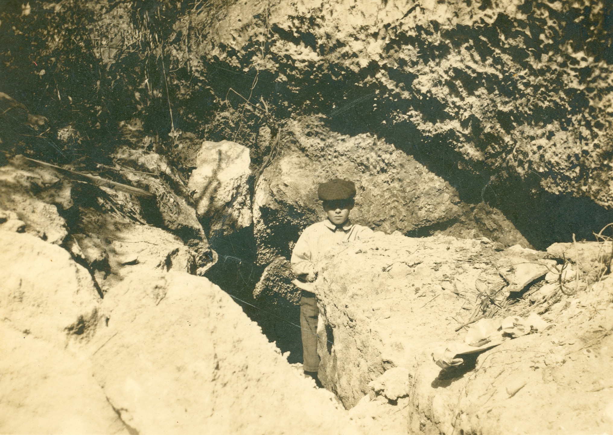
Postcard image with Charles Leon Pierce, son of barefoot mailman Charlie Pierce, at the cave’s entrance, ca. 1910

Mention the Briny Breezes area caves to local old timers, and the stories begin—Tales of pirates, hidden treasure, skeletons, boot-leggers, and Al Capone surface.

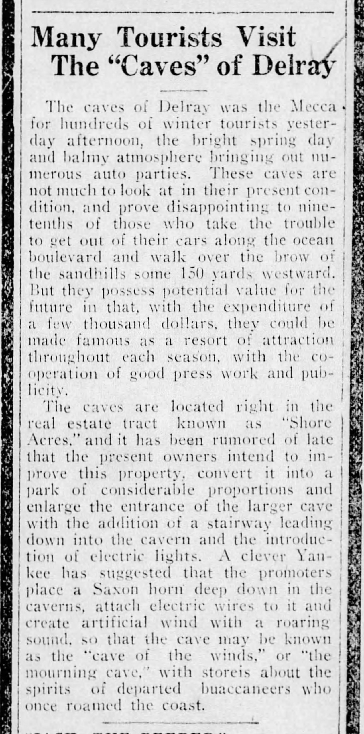
Many Tourists Visit the “Caves” of Delray (24 Feb 1920, The Palm Beach Post)


The Confederate Army hid in the connecting caves (Dillon), local children played in them, motorcycle gangs rode up from Miami to see them, the barefoot mailman took refuge and slept in them, and teenagers followed the underground caverns into nearby mansions basements to raid wine cellars.


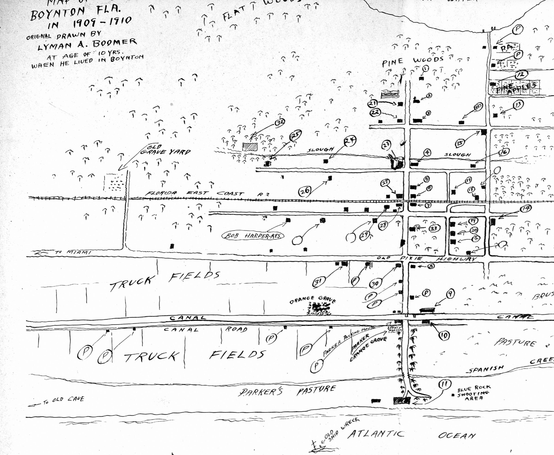
Lyman Boomer’s map of the Boynton area as he remembered it as it was in 1910 (he noted “to the Old Cave” on the far left).

Naturalist and illustrator Lyman Boomer mentioned the caves on his map depicting Boynton in 1909-1910.

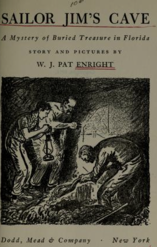
Sailor Jim’s Cave by Pat Enright


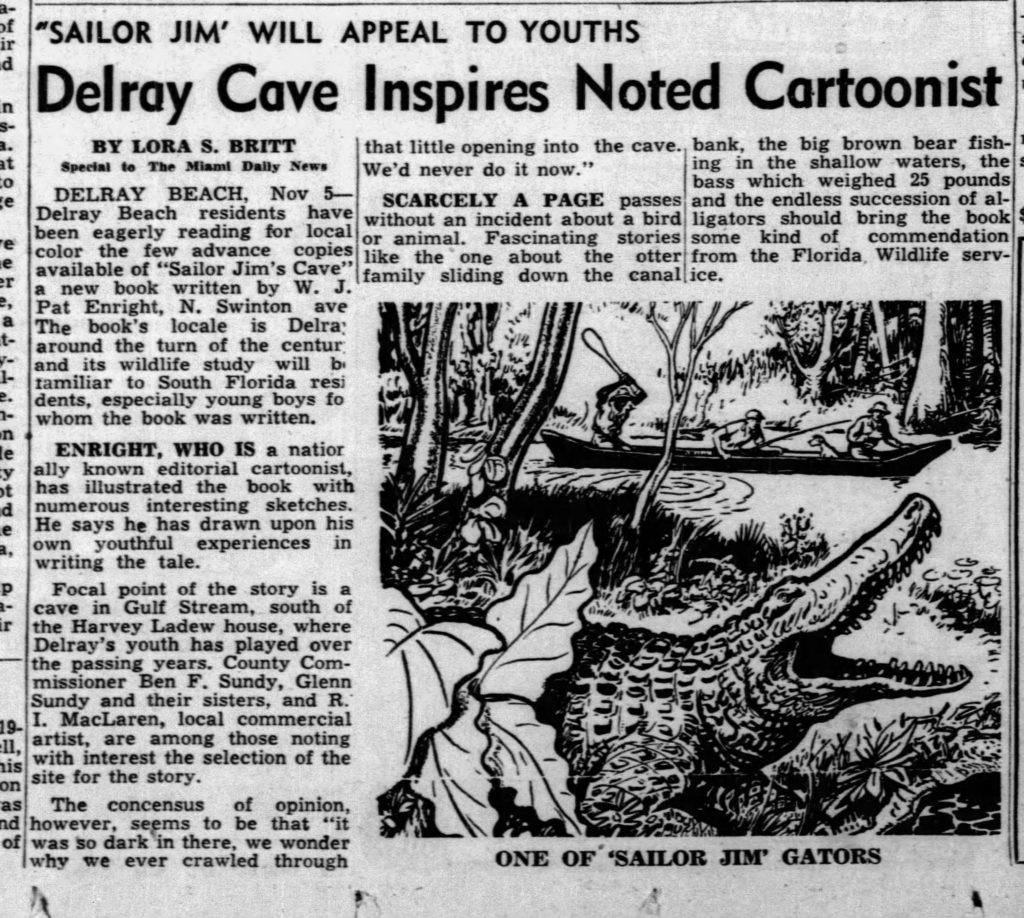
Delray author/illustrator W.J. Pat Enright, who moved to Delray in the 1930s, coined the cave “Sailor Jim’s Cave” with his 1951 adventure novel about a mystery of buried treasure in Florida. Enright’s juvenile fiction title is available to read free on Archive.org. The author describes the old hermit’s coastal cave dwelling beginning on page 110.


Delray Cave Inspires Noted Cartoonist
(5 Nov. 1951, The Miami News).


Although archaeological evidence proves that the mysterious caves were in today’s Gulf Stream (south of Gulf Stream beach), generations of people who grew up in coastal Boynton/Delray remember the rocky outcroppings and underground caverns accessible at low tide, but many have trouble remembering where they were.


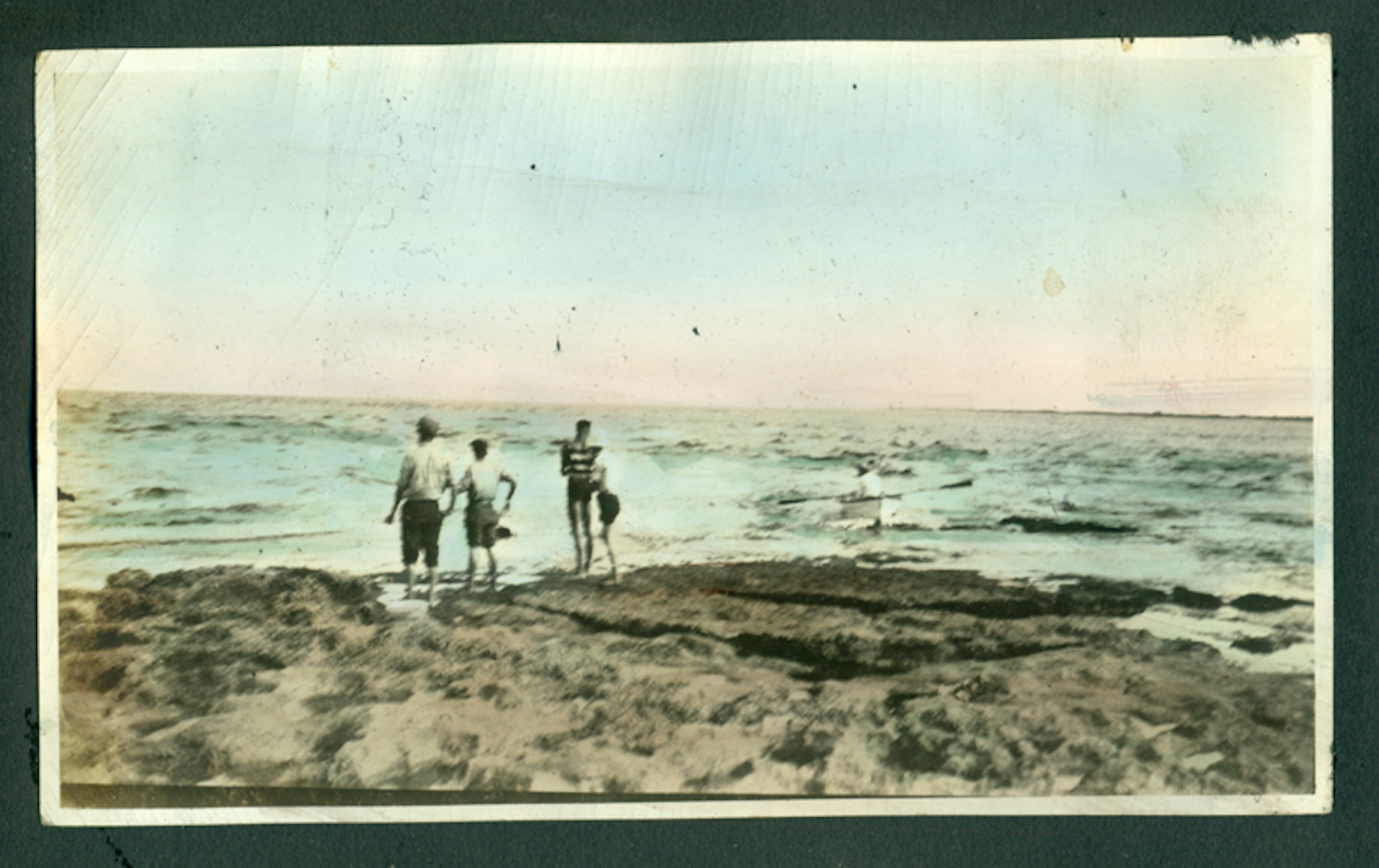
Bluffs along the Atlantic coast in Manalapan (ca. 1920, A. Roman Pierson).


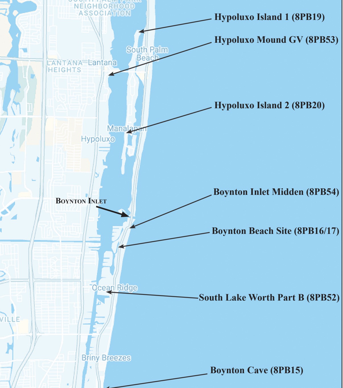
Located below a dune overlooking the Atlantic Ocean, the caves are about midway between Boynton and Delray Beach, south of Briny Breezes.

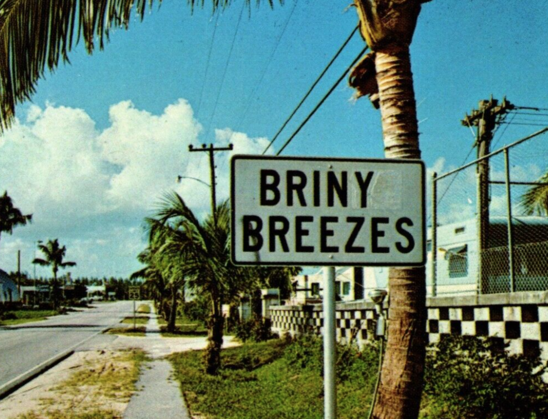
Roadside sign on South Ocean Blvd.


Long before luxury residences and condominiums lined much of Ocean Blvd., the vast beaches with rocky overlooks were an unobstructed paradise and veritable playground for locals and visitors.

Century-old newspapers mention the caves as tourist attractions, and a real photo postal card mailed in 1910 depicts Chuck Pierce, son of famed pioneer barefoot mail carrier Charlie W. Pierce, posing outside of such coastal caverns.

Palm Beach County archaeologists Dorothy Block and Chris Davenport are familiar with the cave. Davenport told me the Florida Master Site File lists the location as Boynton Cave.  Block maintained the Boynton Cave (dwelling site) hails from the Glades I through the Historic period and represents one of 30 coastal Palm Beach County archaeological sites.

Prehistoric native Americans, probably the Jeaga, lived in them, used the rock slabs as tables, and left ancient artwork and messages on the ceilings. Anthropologist John M. Goggin described the cave as he found it in 1949:

A large cave in a coquina outcropping faces the old beach road. One entrance is only a couple of feet east of the road, the major entrance is no more than twenty feet from the road. This entrance, about twenty-five feet long and three to four feet high, opens into the largest of two connecting chambers. This room, about thirty-five feet wide slopes steeply down from the entrance, with the lowest part of the floor about nine or ten feet below the roof at the entrance…The ocean beach is only about 200 feet or less to the east of the cave entrance…Both the cave and the surrounding area have served as Indian camping spots as evidenced by sherds…Further evidence of Indian occupancy is a large painting on the roof of the main chamber. This is composed of several simple motifs painted in burnt sienna color (Goggin, 1949, 376-377).

WHAT HAPPENED TO THE CAVES?

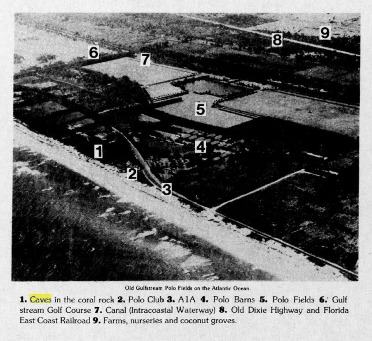
Site of the old Gulfstream Polo Fields on the Atlantic Ocean
1. Caves in the coral rock

According to a local on our Facebook page, Dennis Evangelist, a Bank of America banker built his house on the cave site in the late 1960s/early1970s. Evangelist recalled: “We rode our bikes over the Eighth Street bridge from the Lake Ida area to the Boynton Inlet to catch catfish and would stop by the cave to look around and sometimes snorkel.” Another cave entrance was reportedly barricaded in the early 2000s when a house above it collapsed while digging a swimming pool.

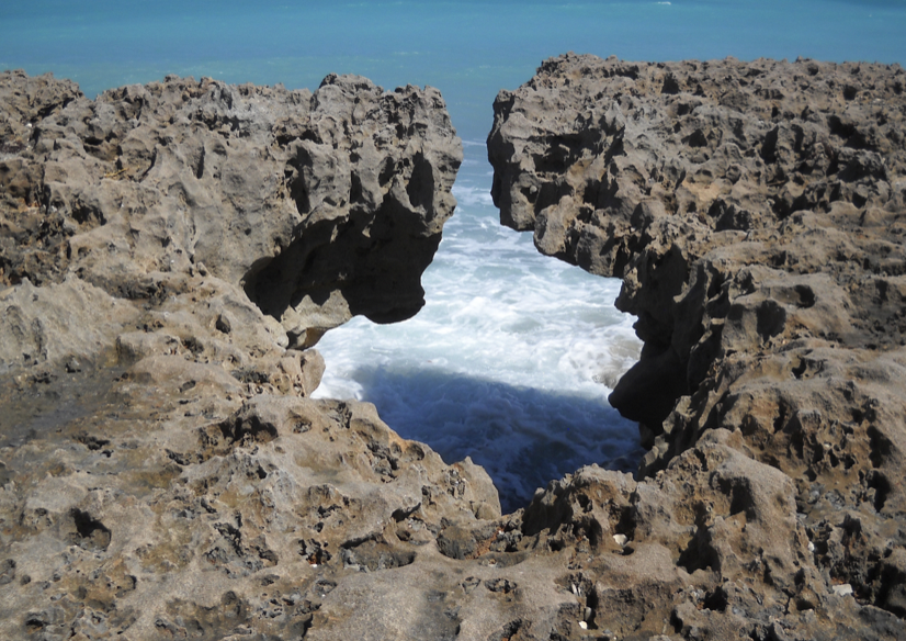
Blowing Rocks Nature Preserve, Jupiter, Florida

With the entrance sealed up and houses over the caves, it’s easy to dismiss the subterranean Boynton Caves as an urban legend. However, those familiar with the Florida coast know that caves existed along the beach’s ridge. Even the famed Boynton Oceanfront Hotel was built on a coastal ridge. Hence, the names Ocean Ridge and Highland Beach.

If you’ve ever been to Jupiter’s Blowing Rocks Nature Preserve, you can see its limestone outcropping with its solution hole spouts. Travel west, and the old coastline of 10,000 years ago can be recognized by a crest of higher land about a mile inland (High Ridge Road).

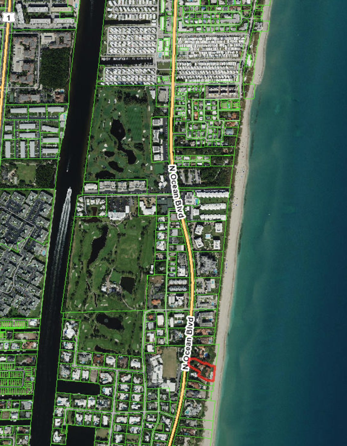
Cave Location


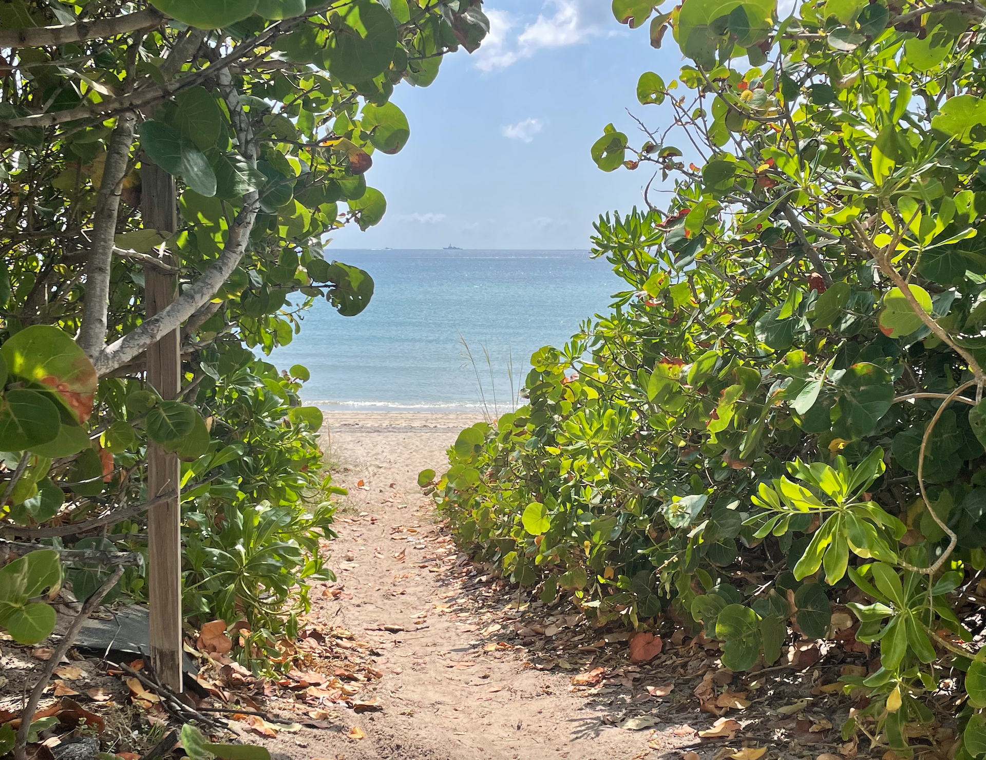
My husband and I rode bikes through Gulf Stream and marveled at the rocky ridges bordering some of the neighborhood’s most attractive homes. Across from Gulf Stream school is a public beach access (we had to walk the bicycles).


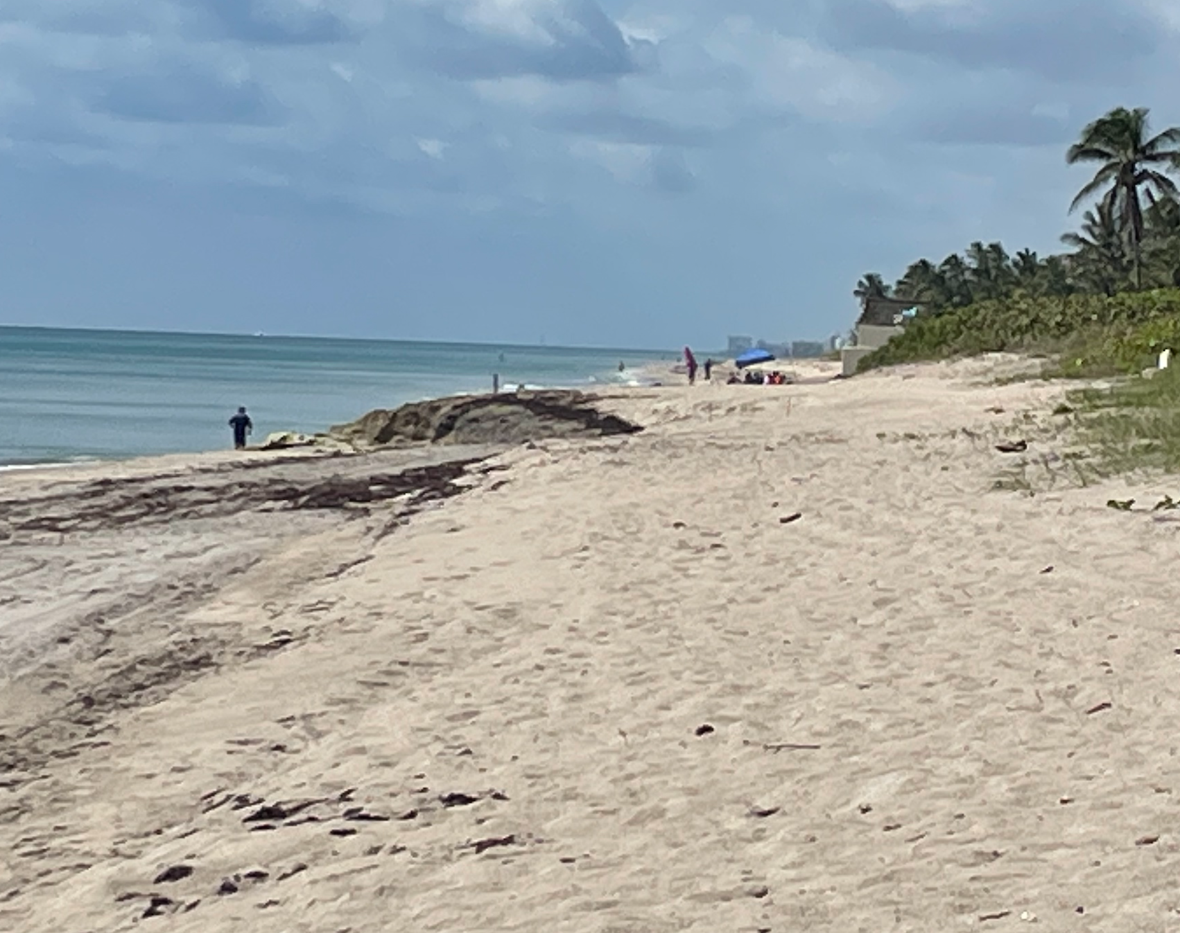
Once you enter the beach area, look north, and notice the large, partially submerged rock formation. The underground cave is below and to the west. If you are at Gulfstream Park, walk south on the beach to find the outcropping.


East entrance to the Boynton Cave (now sealed off)


REFERENCES

Block, Dorothy. (2023). Three Thousand Years in Paradise: Coastal Archaeology in Central Palm Beach County. Vol. 76, No. 2 The Florida Anthropologist.

Dillon, Rodney, (1982 October 24) Confederates Escape off Southern Palm Beach County. Fort Lauderdale News).

Enright, Walter J. Pat. (1951). Sailor Jim’s Cave: A Mystery of Buried Treasure in Florida. Dodd Mead, New York. Internet Archive. Sailor Jim’s cave : a mystery of buried treasure in Florida : Enright, Walter J. Pat, 1879- : Free Download, Borrow, and Streaming : Internet Archive

Florida Division of Historic Resources. (2024). Florida Master Site File Florida Master Site File – Division of Historical Resources – Florida Department of State

Goggin, John M. (1949). Archeology of the Glades Area, Southern Florida. P.K. Yonge Library of Florida History, Gainesville.

Boynton Beach Memories

“What’s your earliest Boynton Beach memory?” If one asked that question on the street, the beach, at the mall or even on Facebook, it’s likely there’d be dozens, if not hundreds or thousands of different early memories, visions (or versions) of Boynton. That’s because we all have our personal memories, our familial stories. We may have been born in different eras, grew up in a different neighborhood, or hung out at different places.

There’s probably some commonalities, like food. People tend to fondly remember food. It wouldn’t be an oversimplification to say that Bud’s Chicken, Lucy’s Donuts, Lucille and Otley’s Restaurant and Sal’s (or Danny’s) Pizza comes up. Who the heck is Danny, anyway? Oh, he’s a new kid on the block, like many of you (Welcome to the neighborhood).

Other common threads are the beach, A1A and the Boynton Inlet. Just don’t call it by it’s official name (The South Lake Worth Inlet). That would irritate generations of people who are certain the name is the Boynton Inlet—and that would be especially confusing because there’s a town nearby named Lake Worth. Or is that Lake Worth Beach? Depends upon who you ask, and when they moved here.

And the Boynton Beach Mall. Again, everyone has their version. Back when there was NOTHING to do in little old quiet Boynton, the mall was a HUGE deal. Jordan Marsh, Burdines, food, games, hanging out in something called air-conditioning…ahh. Then there’s haters…haters gonna hate—and supporters. Like mall walkers. They love the mall. And dad, Sears is one of his favorite stores. Oh dear, Sears is gone. Lots of people will say that Sears, ToysRUs, and K-Mart or whatever store is lame—until it’s gone. Then they miss it and post all kinds of photographs wishing that it was still there, and that they could buy some Craftsman tools.

A view of the original bridge over the inlet, sometimes called Rainbow Bridge or Old McDonald Bridge for its twin arches

That reminds me of the Two Georges. No, not the restaurant, the boat. Back in the 1960s (AKA The old days), Boynton was a farming and fishing town. Really, it was. Once the Inlet (the cut to old-timers) opened up, commercial and sport fishermen and even weekend warriors could ride out through the Inlet to perhaps the best fishing spots in the country. That was before wave runners, jet-skis and selfies. The Two Georges was just one of the ½ dozen head boats and several dozen charter boats docked at Boynton marinas. A head boat is a boat where folks pay a few bucks a head (a person) to fish for four hours. They are sometimes called drift boats, because once the captain gets near a favorite fishing spot, or at least the water is a certain depth, he cuts the engine for a time and lets the boat…drift. I won’t tell you what happened to the Two Georges boat (I’ll let the old-timers here chime in), but I can tell you that the Two Georges Restaurant is still here, and so is the Banana Boat. But someone is thinking of the restaurant that was there before the Banana Boat. It begins with an S…..it was owned by the Molle’s…Smokey’s! That’s it, Smokey’s Wharf!

What about the farms? It wouldn’t be a stretch to say that back in the 1970s pretty much everything west of Congress was farmland. West of Military was “the boonies.” That brings us back to the question? What is your version of Boynton? For some it was the blue crabs that flooded the coastal highway, causing tire punctures. For others it was taking horseback riding lessons at one of Boynton’s many stables. Others recall fishing off N. 22nd Avenue (what’s that you say?)…I mean Gateway Blvd. There was a Go-Kart and midget car race track on Lawrence Road…and a citrus farm where you could drink fresh squeezed orange juice, ride a tram through the groves, eat pie, see a native Seminole wrestle an alligator. Certainly you remember Knollwood Groves? What about Palm Beach Groves, Sturrock Groves, Indian Hill Groves, Blood’s Hammock Groves? Why did you think there is a school on Lawrence Road called Citrus Cove?  Have you any idea where the Rangeline is? State Road 441 (AKA the Everglades). Don’t get me started on the dairies. Or the roses and the orchids. Or the pineapples. Or the toms. Tom who? Tom-a-to.

Times change. Nothing stays the same. People are born. We live, we love, we die. Storms come, storms go, we rebuild, preserve what we can, and honor and memorialize what is gone. Embrace what you’ve got. As Joni Mitchell sang “ … you don’t know what you’ve got
till it’s gone … “

Boynton’s Unsolved Murder

In reading through old books, newspapers and pioneer accounts, once in a while a name would pop up that intrigued me – Cecil Upton. Various accounts of Cecil described him as eccentric Englishman who bought land in the area that would become Boynton, and that he came from a very wealthy family. With those intriguing clues, the search began for the elusive Englishman of Boynton.

Mr. Upton first appears in a book describing the accomplishments of various Upton family members. Upton was from Long Eaton in Derbyshire, born in 1849, son of William Judd Eaton, a well educated clerk with bachelors and masters degrees to his credit. Cecil too was educated at Oxford. But the great opening of America called Upton, and he emigrated in 1873. Somehow, he made his way to wilds of Florida and bought 40 acres from the State of Florida near Deland on January 4, 1876. Somewhere on his Florida trip, Upton became acquainted with Mason Dwight. Dwight and his family had been some of the very first settlers on Lake Worth, in fact building what could be considered the first true house on Lake Worth, with wood, windows and fixtures brought from Jacksonville, but with a palmetto thatched roof. Life was just too difficult, so Dwight had left his nephew in charge of the Lake Worth homestead while the family had moved further north.

In February of 1876, Dwight came south to check on the Lake Worth homestead and brought with him Cecil Upton. Charles Pierce, in his book Pioneer Life in South Florida, provides our first description of Upton:

Cecil Upton was as Mark Twain describes in one of his books “a remittance man” and although highly educated, was a very odd character. He was forever asking questions that no one could answer, He would suddenly smile when he asked a question in his tremendous voice, and the smile would as quickly vanish when you started to answer. His smile coming and going reminded one of the flashes of lightening in a black cloud. Their first night on the lake they spent at Charley Moore’s. Everyone had been asleep for an hour or more; all but Cecil Upton; he was thinking of the many strange things he had seen, but his thoughts were mostly about coconuts. Suddenly he shouted at the top of his tremendous voice, “Any money in coconuts?” Of course his booming tones awoke everyone in the house. Charlie Moore’s temper was up as he answered “Cut one open and see.”

Pierce then states that Upton bought some land at the land office in Gainesville on his way back to Louisiana, where he was teaching in a Black school.

Upton did not buy any land at that time. He did buy 40 acres in 1880, 82 acres in 1881 and 90 acres in 1888, all located north of present day downtown Boynton along what would become the Federal highway and railroad, stretching to Lake Worth waterway (Intracoastal). He also appears on the 1880 Census as living in Louisiana,  a single man teaching school. So he sat on those 200 acres in Florida, paying the taxes and selling a few small parcels here and there.

Somewhere around 1910, Upton appears to have retired to Boynton to finally live on the land he had bought 30 years prior. When he first had the land, he had planted many tropical trees including coconuts, mango, bananas and pineapple. He was on the 1910 Census in Boynton, and listed his occupation as “farmer.” By 1920, his business interests were changing, and he purchased the original Scotia Plantation house owned by John Brown and opened “Upton’s Chicken Dinners.” It was only briefly open, and eventually became a “roadhouse” where liquor was sold during prohibition.

Upton increasingly became a recluse. Rumors began to circulate that Upton was very wealthy, receiving regular payments from his rich sister in England.