The South Lake Worth (Boynton) Inlet History

SOUTH LAKE WORTH INLET (BOYNTON INLET) 

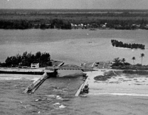
The Boynton Inlet, or what is officially known as the South Lake Worth Inlet, was a project that took many years to happen. Originally, Lake Worth was a fresh water lake. When the Palm Beach Inlet was opened in the 1800s, it changed to a salt water lagoon. At the far end

The Boynton Inlet

The Boynton Inlet

of the lake, the water was more brackish. Several cities used the lake to dump raw sewage. It was felt that making an additional opening to the sea would help “flush” the lake and to provide access for anglers and sport fishing.

The inlet was opened in 1927, and is a popular recreational spot for picnics and fishing.

The original article from March 17, 1927, announcing the inlet opening, from the Palm Beach Post.

CONNECTING CUT IS MADE AFTER YEARS OF ENGINEERING WORK

Scores Watch Ceremonial Labor at 11 o’clock Wednesday Night

At 11:18 o’clock last night the South Lake Worth Inlet at Boynton became a reality.

For at this hour waters from the Atlantic ocean glided in through the tiny cut, shoveled in the sand, and mingled with the waters of Lake Worth, for the first time at this point, filling the channel cut by a huge clam shell dredge. Dozens of spectators leaned from the bridge, which tops the project, and watched the operations by the glare of large search lights, while others tramped through the sand below to stand on the point to observe the laborers as they shoveled the opening wedge through which the ocean flowed.

Although about two weeks work yet remains for dredging the sand and cutting through part of the rock in the channel, last night’s task marked the official opening of the South Lake Worth inlet and the real termination of the project extending over a period of many years.

The South Lake Worth inlet, connecting the Atlantic ocean and Lake Worth, at a point just north of Boynton and the head of the lake, when completed will be available for pleasure craft, as well as being a vehicle for drainage. A depth of five feet at low tide will be increased to seven at high tide with a space of 154 feet between the two front jetties, and a 32 foot overhead clearance under the bridge.

Conceived in 1923, the project was almost one year in assuming definitive shape at the end of which time plans had been drawn, estimates made, the inlet district created and the project financed. The district extends from Southern Boulevard in West Palm Beach to a point one mile south of Boynton.

Riddle Brothers, engineers, were engaged to have charge of the entire projects, and last night both Karl and Kenyon Riddle of the firm, stood on the sands and watched the culmination of the $225,000 project, together with many of the town officials.

The concrete bridge, which has no draw, was completed August 1, 1924. Work started on the inlet proper in September, 1923, first on the solid concrete jetties, both of which withstood both hurricanes last summer without damage. The jetties, according to the engineering are of a peculiar construction, unique along the coast.

A suction dredge has been at work on the channel for some time and on Tuesday of this week the clam shell dredge began operations in a 21 hour-a-day schedule. It is expected that with the opening wedge cut, much of the sand will wash out to sea during high tides.

Who Founded Boynton Beach?

Over the years, as northern transplants settled the South Florida area, local residents have told stories about who founded the town of Boynton. Some stories were romantic tales of a gallant major, or of a not-so-gallant representative from Michigan.
So how was this present day city of 69,000 residents founded?

IT’S COMPLICATED

The best primary sources to unravel this tale are the land transaction records as recorded in the Dade and Palm Beach County courthouses, and newspaper accounts of the time. All persons who were here to witness the events have passed on.
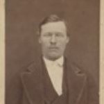
The land grant applications as filed with the federal land office in Gainesville provide the first concrete information. Henry Dexter Hubel was born in 1853 in Ontario, Canada, and

Dexter Hubel

H. Dexter Hubel

ventured to South Florida in 1877, filing a homestead application for 80 acres along the beach front just east of the present Boynton Beach downtown area. Though beach front land is extremely valuable today, it had little value in the 1800s as farm land, as thick Florida brush covered the land. The alluring part of that property was that there was a high ridge on the land over 20 feet high, hence today’s name of Ocean Ridge for the area.

Hubel’s stay on the property was short. He built a hut of palmetto leaves and driftwood, and sent for his family from Michigan, according to Charles Pierce, who wrote of the Hubels in his book “Pioneer Life in South Florida.” Soon after the family arrived, they managed to set the house on fire while cooking.  The Pierce family put up the Hubel family,  but the mean coastal landscape was too much for the Hubel family. They abandoned the claim. In 1880, another local resident took up the claim to the property along the ocean. Stephen Andrews, who was the House of Refuge keeper for shipwrecked sailors in what would become Delray Beach, filed a claim on the land and paid the federal government 90 cents an acre for the beachfront. Andrews probably did not do much with it, except perhaps raise some coconuts.
Meanwhile, the state of Florida encouraged development of the South Florida frontier by offering significant amounts of land for improvements such as canals and railroads. The Florida Coast Line Canal and Transportation Company made plans to dig a canal from Biscayne Bay to Lake Worth in 1881. In 1889, the Florida Legislature granted the company one million acres of land to dig the waterway from the St. John’s River to Biscayne Bay by connecting existing bodies of water such as Lake Worth and the Indian River.
The land the state of Florida granted in the Boynton area was west of Andrew’s beach front land, on the west side of the marsh that separated the high ocean ridge and the coastal ridge further inland. This low marshy area is what would be widened and deepened to become the Florida Coast Line Canal, today’s Intracoastal Waterway. The canal company charged a toll on the canal to help pay for its construction.
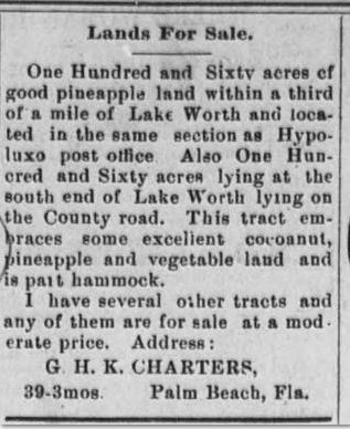
As an additional means to raise funds for canal construction, the Canal Company began to sell its land holdings to settlers. One such parcel was a 160 acre plot just west of the ocean ridge. George H.K. Charter bought this land in 1891 for $240. George had land on the barrier Tropical Sun adisland about where Manalapan is today, and intended to grow coconuts and pineapples on his new property. Land along the west side of Lake Worth further north was known as the most fertile land in the area, with farmers producing tomatoes, sweet potatoes, pineapples, bananas and other crops. These “Hypoluxo Garden Lands” supported many early farmers as they shipped their produce up Lake Worth for loading on larger ships headed for the northeast.
But Charter got the idea to head to Jamaica, so he sold his holdings in the area. The November 1891 Tropical Sun newspaper carried an advertisement for the 160 acres of land “lying on the County road.” This was the “sand road” that Guy Metcalf built to allow road passage via covered wagon between Lantana and Lemon City, and ran about where NE 4th Avenue runs through downtown Boynton Beach today.
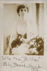
Byrd Spilman Dewey, who lived about one mile south of present day West Palm Beach, saw that ad and purchased the land on January 25, 1892 for $700. Mrs. Dewey and her husband Fred S. Dewey had homesteaded land on Lake Mangonia in the late 1880s.

The Deweys

The Deweys

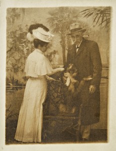
Mrs. Dewey wrote a weekly column for the local newspaper The Tropical Sun, in addition to writing for many of the major woman’s periodicals of the time such as the Christian Union and Good Housekeeping.  It is not known if the Deweys did any improvements to the land in the early 1890s.
In 1893, South Florida’s king had arrived – Henry Morrison Flagler. Land values soared as Flagler commenced to build one of the largest hotels in the world, the Hotel Royal Poinciana. Northerners flocked to the area in search of the winter paradise and the prospect of making money on the lands in the areas around Palm Beach.
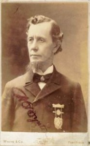
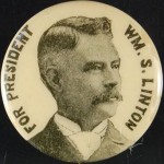
Enter the picture two men from Michigan – William Seelye Linton and Major Nathan Smith Boynton. The younger of the two, Linton,  was the “talker” and dealer. They commissioned a boat, the Victor, with Frederick Voss at the helm, to take them south in 1895 on the newly opened canal. They sailed through the vast undeveloped country and surveyed what lands they wished to buy. Linton offered Mrs. Dewey $6,000 for her land, and offered Stephen Andrews thousands more for the oceanfront, with Major

Nathan S. Boynton

Nathan S. Boynton

Boynton as the silent partner on the oceanfront property. Boynton then set about to build his 50 room hotel on the oceanfront, which became a well-known spot for its fine dining and location close to the Gulfstream and its warm waters.
Linton bought the Dewey land on the west side of the canal under a “contract” which meant the Deweys still held the deed, and Linton would pay them $1,500 a year over four years. The Deweys retained 40 acres of the land along the canal. Linton platted the land into lots and began selling them (although Linton filed no official plat with the county) and issued deeds to the buyers, who typically paid $50 per lot. If all the lots had sold, the lots would have grossed Linton well over $12,000.
But money problems soon plagued Linton on all his mortgaged land in the Boynton area and south in the town of Linton, which he had platted. He was insolvent. Settlers in Linton and Boynton now held worthless deeds to lands they had “bought” from Linton. Boynton tried to salvage the situation in the Boynton area by “buying” the 40 acre town site from Linton in March,

William S. Linton

William S. Linton

1897. Seeing how things had unraveled in Linton, the Deweys were not in the dealing mood.  In October 1897, the Deweys filed a foreclosure lawsuit against both Linton and Boynton. They settled in November with Boynton turning over money he had collected for lots, and the Deweys regaining all their lands. The Deweys could then issue deeds for the lots that were legal to the settlers. Folks in Linton were not so lucky. They had to pay twice for their lots, once originally to Linton, and then to the new creditors. The town folk were so upset that they took Linton’s name off the town and changed it to the Town of Delray.

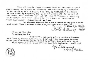
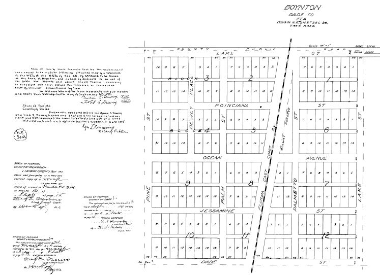
On September 26, 1898, Fred Dewey and Byrd Spilman Dewey (Birdie S. Dewey) filed the plat for the Town of Boynton in the Dade County Courthouse. A few days later they also filed the plat for Dewey’s Subdivision, where the Deweys divided the remaining lands along the canal into five acre farming tracts.
Fred Dewey took a job with the Florida East Coast Railway land company, and sold lands on behalf of the railway owned by Flagler. His territory was Boynton south to Pompano Beach. The Deweys built a home in Boynton, and Fred Dewey planted the first substantial citrus grove in Boynton, along the canal just south of present day Ocean Avenue. The Deweys supported the fledging town in many ways, including donating lots for the Methodist church, donating the proceeds from lots to pay for road improvements,

Plat Signatures

Plat Signatures

advocating for Boynton to have its own school, and donating books in 1910 to start the first “free reading room” in Boynton, where the books were held in the post office.
So one question remains: why did the Deweys keep the town named Boynton? Speculation must be used here as no definitive answer was found. One simple explanation is in the post office name. With no zip codes at that time, town names had to be distinctive. If one town already had taken a name, another town in the state could not have the same name. With Delray the next stop on the train line, confusion would have resulted if the Town of Dewey were right next to the Town of Delray.
The Deweys left Boynton in 1911 as Mr. Dewey’s health deteriorated. The military hospital in Johnson City, Tennessee admitted Fred with many ailments. He would linger in military hospitals until 1919, when he passed away. Mrs. Dewey would eventually retire to Jacksonville, where she passed away in 1942.
The Dewey’s role in founding and saving the Town of Boynton was largely forgotten, and the legend of Boynton largely supplanted their story. Major Boynton passed away in 1911, and his

Byrd Spilman Dewey

Byrd Spilman Dewey

family continued to run the hotel until 1925. At the height of the land boom, Boynton’s family sold the hotel and land to the Harvey Corporation which had plans to build a luxurious hotel on the site.  The new owners demolished Boynton’s hotel, but the grand hotel was never built. The 1926 and 1928 hurricanes and the crash of 1929 saw to that.
The residents incorporated the the Town of Boynton  in 1921, thus finally cementing Boynton’s name as the moniker for the town. To help construct the woman’s club building, designed by Addison Mizner,  Boynton’s family donated $25,000 to the Boynton Woman’s Club as a memorial to their father.
As was said in the beginning, the story is complicated.
Each player in the story contributed something different in the genesis of what is today’s Boynton Beach.

Plat for the Town of Boynton

Plat for the Town of Boynton


Legend of the Boynton Caves

LEGEND OF THE BOYNTON CAVES

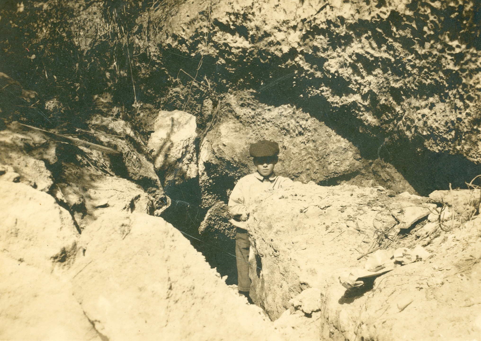
Postcard image with Charles Leon Pierce, son of barefoot mailman Charlie Pierce, at the cave’s entrance, ca. 1910

Mention the Briny Breezes area caves to local old timers, and the stories begin—Tales of pirates, hidden treasure, skeletons, boot-leggers, and Al Capone surface.

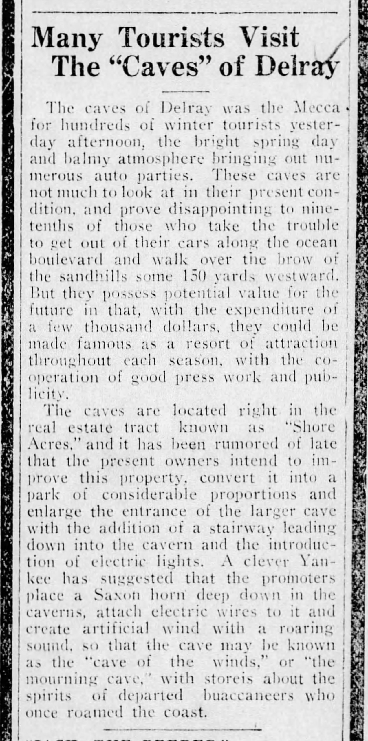
Many Tourists Visit the “Caves” of Delray (24 Feb 1920, The Palm Beach Post)


The Confederate Army hid in the connecting caves (Dillon), local children played in them, motorcycle gangs rode up from Miami to see them, the barefoot mailman took refuge and slept in them, and teenagers followed the underground caverns into nearby mansions basements to raid wine cellars.


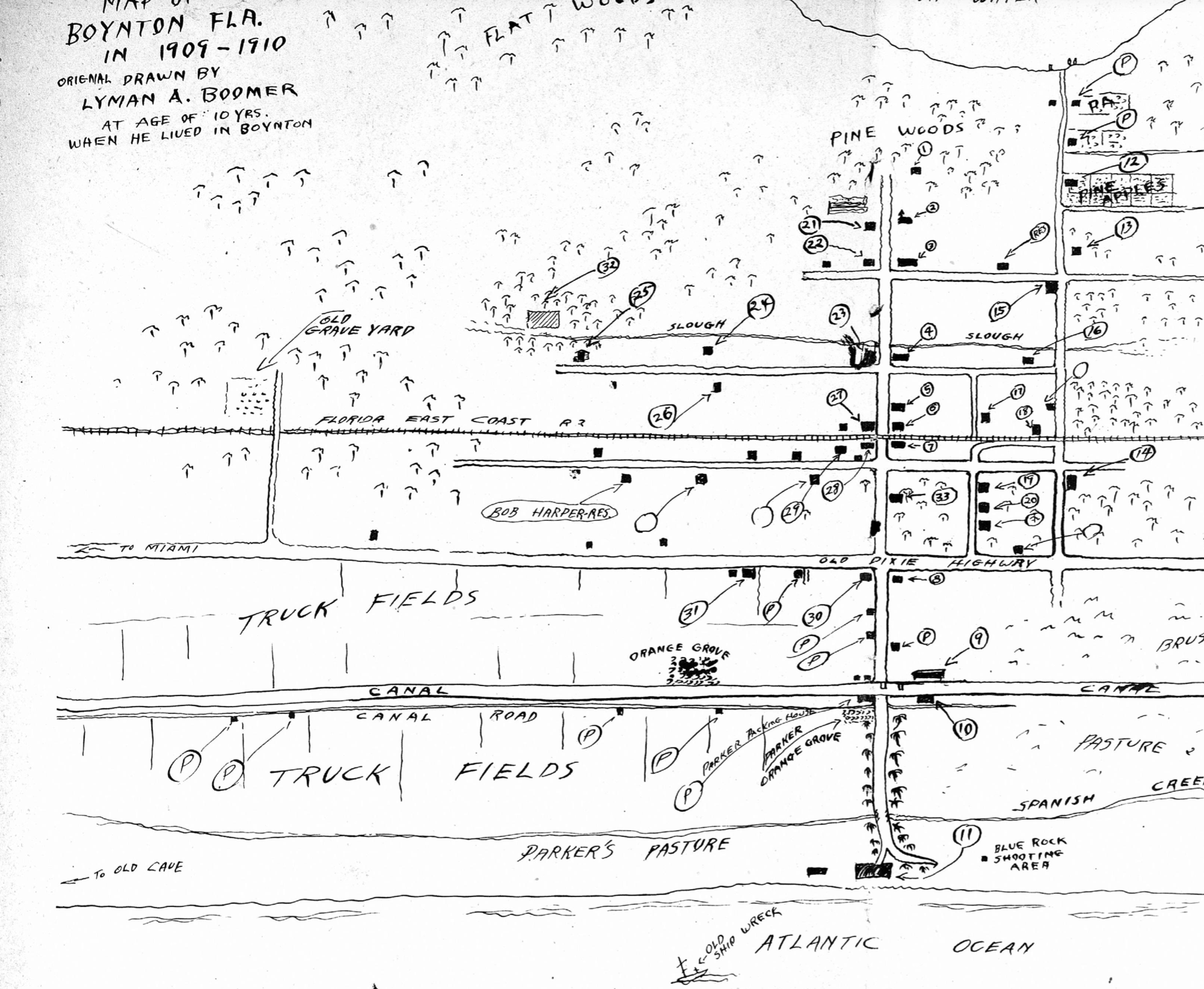
Lyman Boomer’s map of the Boynton area as he remembered it as it was in 1910 (he noted “to the Old Cave” on the far left).

Naturalist and illustrator Lyman Boomer mentioned the caves on his map depicting Boynton in 1909-1910.

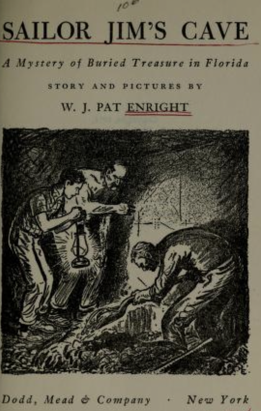
Sailor Jim’s Cave by Pat Enright


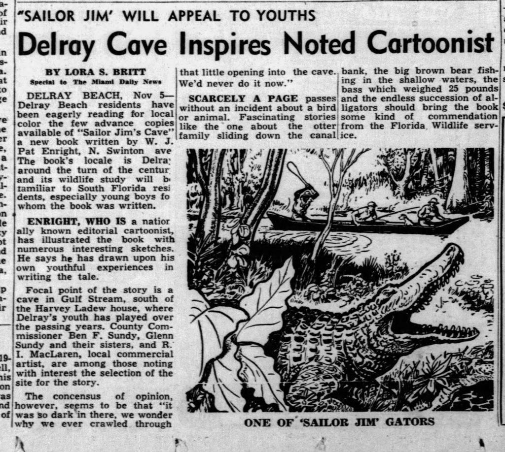
Delray author/illustrator W.J. Pat Enright, who moved to Delray in the 1930s, coined the cave “Sailor Jim’s Cave” with his 1951 adventure novel about a mystery of buried treasure in Florida. Enright’s juvenile fiction title is available to read free on Archive.org. The author describes the old hermit’s coastal cave dwelling beginning on page 110.


Delray Cave Inspires Noted Cartoonist
(5 Nov. 1951, The Miami News).


Although archaeological evidence proves that the mysterious caves were in today’s Gulf Stream (south of Gulf Stream beach), generations of people who grew up in coastal Boynton/Delray remember the rocky outcroppings and underground caverns accessible at low tide, but many have trouble remembering where they were.


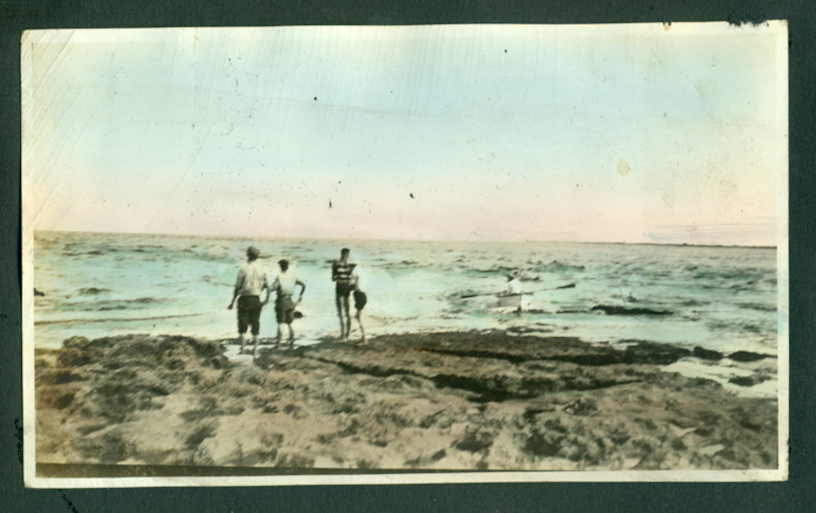
Bluffs along the Atlantic coast in Manalapan (ca. 1920, A. Roman Pierson).


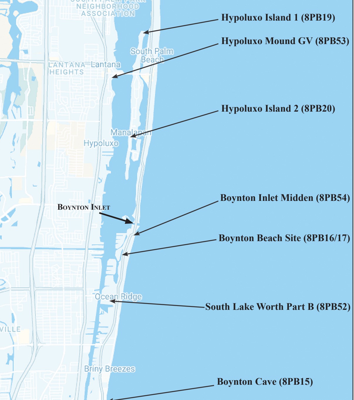
Located below a dune overlooking the Atlantic Ocean, the caves are about midway between Boynton and Delray Beach, south of Briny Breezes.

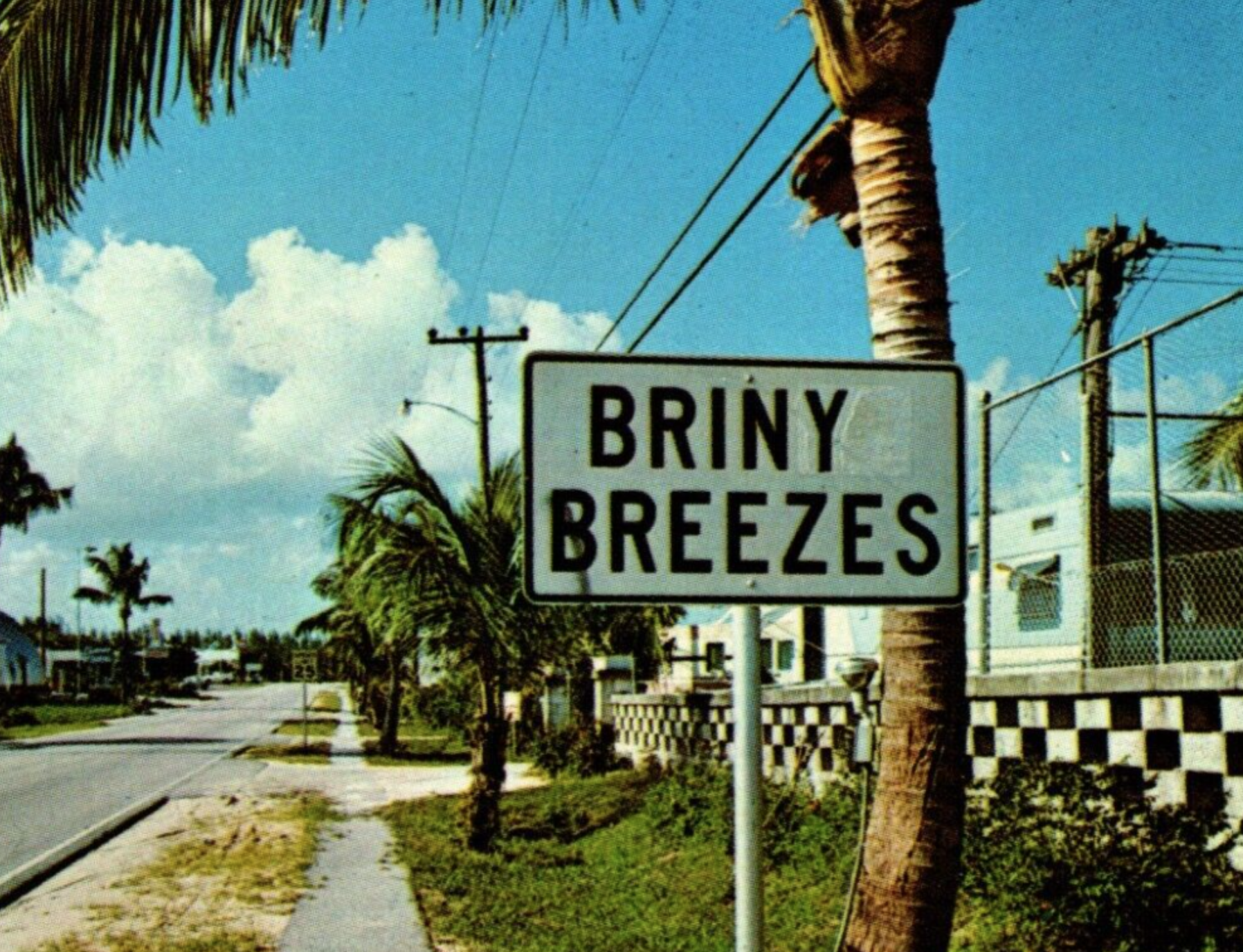
Roadside sign on South Ocean Blvd.


Long before luxury residences and condominiums lined much of Ocean Blvd., the vast beaches with rocky overlooks were an unobstructed paradise and veritable playground for locals and visitors.

Century-old newspapers mention the caves as tourist attractions, and a real photo postal card mailed in 1910 depicts Chuck Pierce, son of famed pioneer barefoot mail carrier Charlie W. Pierce, posing outside of such coastal caverns.

Palm Beach County archaeologists Dorothy Block and Chris Davenport are familiar with the cave. Davenport told me the Florida Master Site File lists the location as Boynton Cave.  Block maintained the Boynton Cave (dwelling site) hails from the Glades I through the Historic period and represents one of 30 coastal Palm Beach County archaeological sites.

Prehistoric native Americans, probably the Jeaga, lived in them, used the rock slabs as tables, and left ancient artwork and messages on the ceilings. Anthropologist John M. Goggin described the cave as he found it in 1949:

A large cave in a coquina outcropping faces the old beach road. One entrance is only a couple of feet east of the road, the major entrance is no more than twenty feet from the road. This entrance, about twenty-five feet long and three to four feet high, opens into the largest of two connecting chambers. This room, about thirty-five feet wide slopes steeply down from the entrance, with the lowest part of the floor about nine or ten feet below the roof at the entrance…The ocean beach is only about 200 feet or less to the east of the cave entrance…Both the cave and the surrounding area have served as Indian camping spots as evidenced by sherds…Further evidence of Indian occupancy is a large painting on the roof of the main chamber. This is composed of several simple motifs painted in burnt sienna color (Goggin, 1949, 376-377).

WHAT HAPPENED TO THE CAVES?

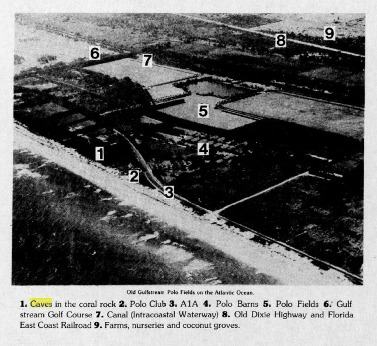
Site of the old Gulfstream Polo Fields on the Atlantic Ocean
1. Caves in the coral rock

According to a local on our Facebook page, Dennis Evangelist, a Bank of America banker built his house on the cave site in the late 1960s/early1970s. Evangelist recalled: “We rode our bikes over the Eighth Street bridge from the Lake Ida area to the Boynton Inlet to catch catfish and would stop by the cave to look around and sometimes snorkel.” Another cave entrance was reportedly barricaded in the early 2000s when a house above it collapsed while digging a swimming pool.

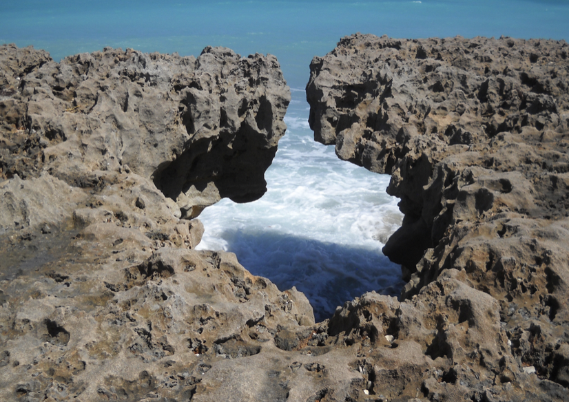
Blowing Rocks Nature Preserve, Jupiter, Florida

With the entrance sealed up and houses over the caves, it’s easy to dismiss the subterranean Boynton Caves as an urban legend. However, those familiar with the Florida coast know that caves existed along the beach’s ridge. Even the famed Boynton Oceanfront Hotel was built on a coastal ridge. Hence, the names Ocean Ridge and Highland Beach.

If you’ve ever been to Jupiter’s Blowing Rocks Nature Preserve, you can see its limestone outcropping with its solution hole spouts. Travel west, and the old coastline of 10,000 years ago can be recognized by a crest of higher land about a mile inland (High Ridge Road).

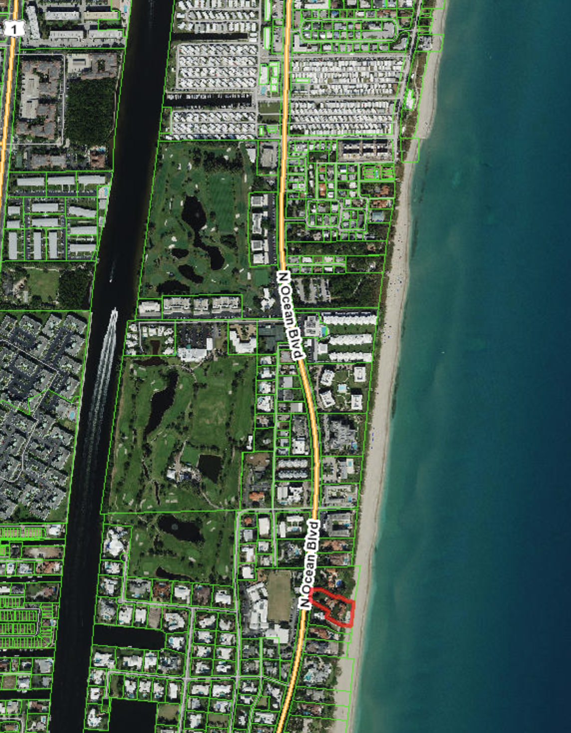
Cave Location


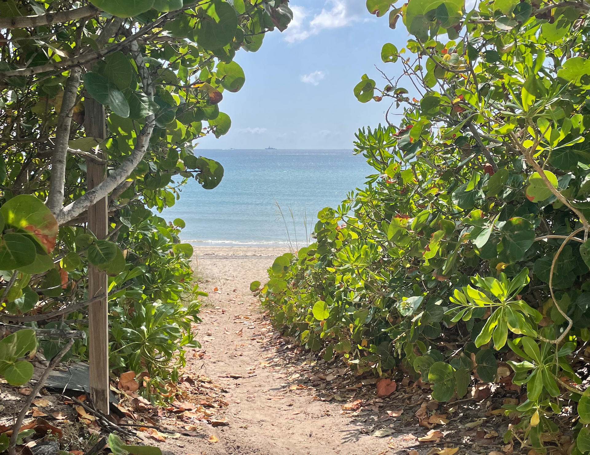
My husband and I rode bikes through Gulf Stream and marveled at the rocky ridges bordering some of the neighborhood’s most attractive homes. Across from Gulf Stream school is a public beach access (we had to walk the bicycles).


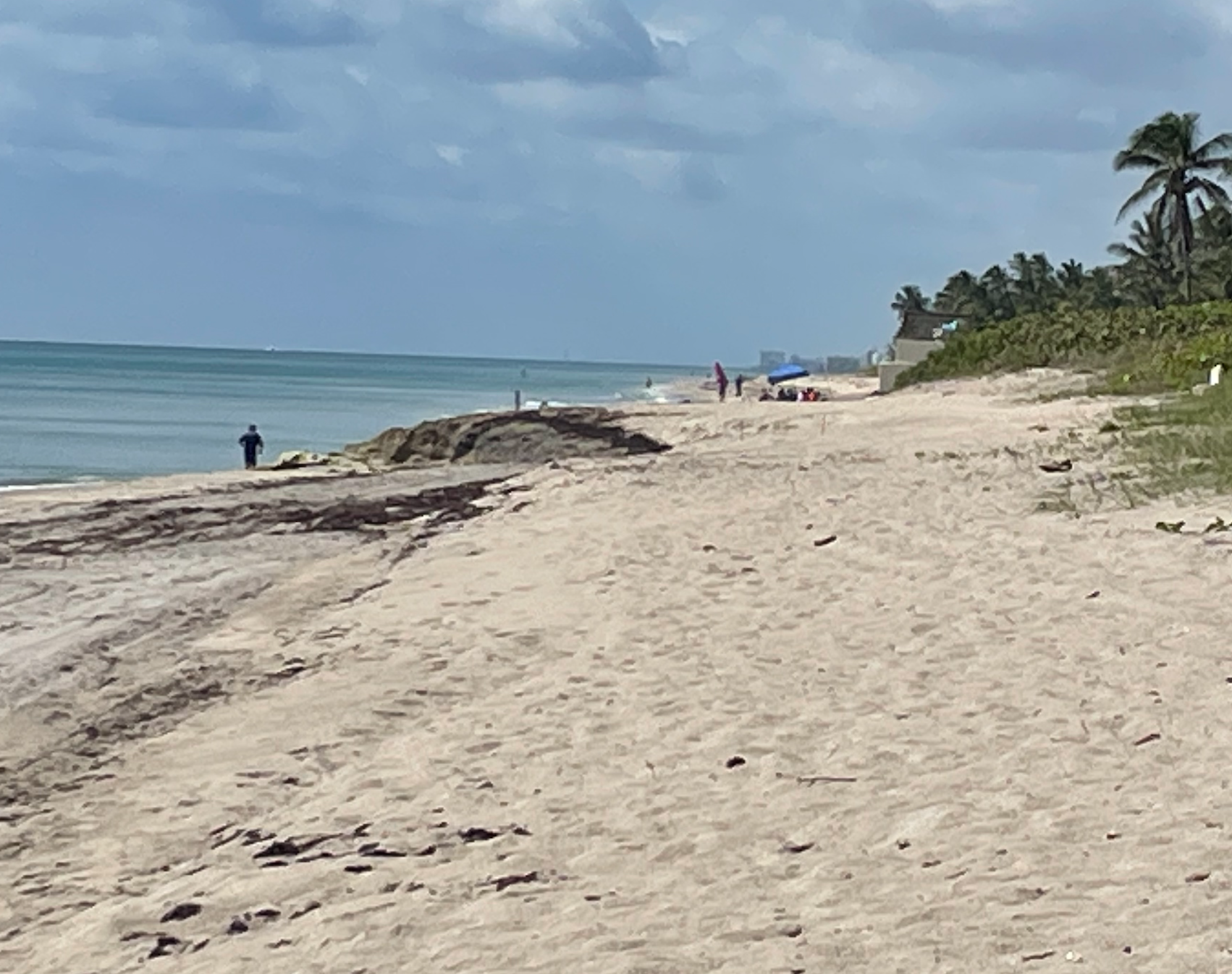
Once you enter the beach area, look north, and notice the large, partially submerged rock formation. The underground cave is below and to the west. If you are at Gulfstream Park, walk south on the beach to find the outcropping.


East entrance to the Boynton Cave (now sealed off)


REFERENCES

Block, Dorothy. (2023). Three Thousand Years in Paradise: Coastal Archaeology in Central Palm Beach County. Vol. 76, No. 2 The Florida Anthropologist.

Dillon, Rodney, (1982 October 24) Confederates Escape off Southern Palm Beach County. Fort Lauderdale News).

Enright, Walter J. Pat. (1951). Sailor Jim’s Cave: A Mystery of Buried Treasure in Florida. Dodd Mead, New York. Internet Archive. Sailor Jim’s cave : a mystery of buried treasure in Florida : Enright, Walter J. Pat, 1879- : Free Download, Borrow, and Streaming : Internet Archive

Florida Division of Historic Resources. (2024). Florida Master Site File Florida Master Site File – Division of Historical Resources – Florida Department of State

Goggin, John M. (1949). Archeology of the Glades Area, Southern Florida. P.K. Yonge Library of Florida History, Gainesville.